I've been reading a meteorology textbook, and on a walk just now I put some of my new knowledge to use. I'm dumping observations, not concerned with intelligibility to others, caveat lector.
On the local hill, looking west over the Bay to the peninsulas there: lots of clouds, moving north briskly, implying a high pressure zone to the east.
Looking straight up, cumulus humilis? or stratocumulus? clouds moving east, implying a high to the south.
Looking south, clear blue skies, consistent with a high there.
Looking north, massed clouds, consistent with a low there. Also various tallish hills, perhaps why there's a low and clouds there: sun heats land and air in the southern lowland, air flows north and pushes uphill, air cools and forms clouds.
Looking west again, the western clouds weren't just moving north, but swung around to the east, into a line of clouds between the presumed high and low. It was annoying, though: they seemed to slow down as they swung east and then... dissolved? slammed into each other? Even just staring at a distinctive cloud formation, it was hard to be sure what happened to it.
As for why all the west clouds: westerly surface winds from the Pacific blow over cool coastal currents, cooling and fogging, then also push uphill over the peninsulas, cooling and fogging more.
Back home, I haven't found a pressure map like you'd seen on TV weather forecasts. I did find a wind map, but I'm guessing it's just showing aloft winds, there's no trace of the south winds to the west. No trace of my presumed high or low, either, all the winds are heading more or less east, no gyres shown. Though there is a region of south Berkeley where the winds diverge: south of there, the winds are due east; north, they head northeast.
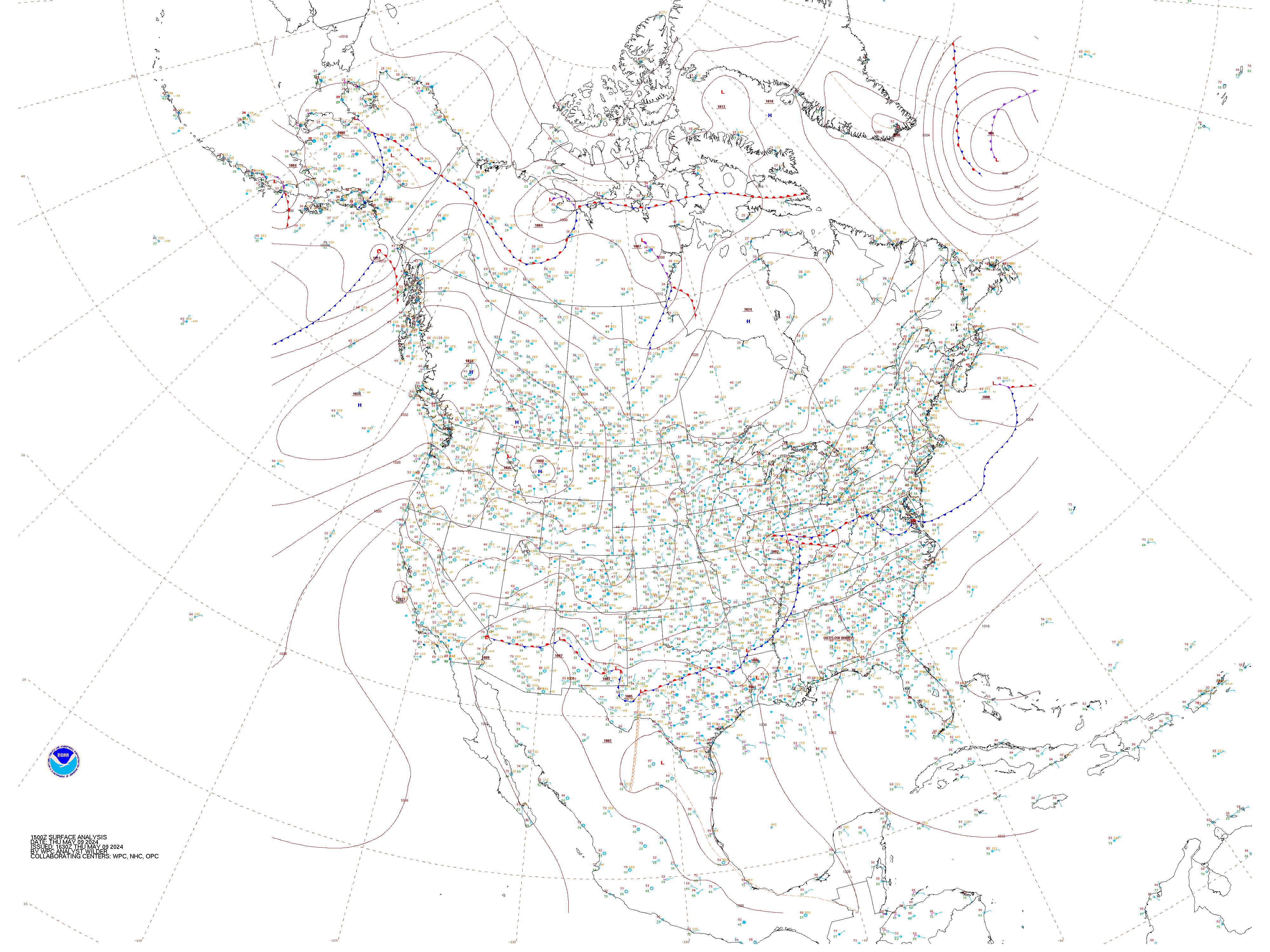
Hmm, found a national pressure map (from here but it seems too high level. There is a low, but way off in northern California.
Conclusion: I don't know if I know as much as I thought I did when I sat down.